Politics & Government
El Camino Real Scheduled for Multi-Million Dollar Improvements
The King's Highway moves into a new age with the help of CalTrans.


A route Spanish missionairies once sprinkled with mustard seeds will be getting a heavenly makeover beginning next year.
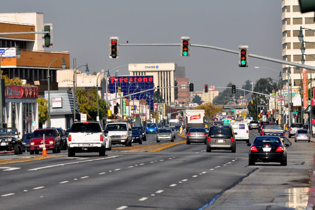
A small portion of El Camino Real, the 600 mile north-south path originally created to link California's 21 missions, four presidios, and several pueblos between San Diego and Sonoma, has received a construction infusion of over $11 million, an amount expected to bring the historic road into the 21st century.
Beginning in mid-2012, expecting to finish in early 2013, an upgrade of the traffic operating system will; introduce closed-circuit television cameras at key locations above the traffic; install vehicle detection sensors to monitor immediate volumes of traffic; improve existing traffic signals; and lay fiber-optic cable along the route so all the new devices can talk with each other.
Find out what's happening in South San Franciscowith free, real-time updates from Patch.
The work will take place in San Mateo County between San Bruno and Redwood City, specifically between Highway 380 and Whipple Avenue, a distance of about 14 miles. In the days of the missionairies, that was about a half-day's trek by horseback. Today, even with stoplights, we can make the same journey in about 29 minutes.
On average, more than 30,000 cars use the El Camino on a daily basis, about 2,650 per hour during a peak period.
Find out what's happening in South San Franciscowith free, real-time updates from Patch.
"There are a lot of commuters on the road, with the BART/Caltrain station in Millbrae," says Gidget Navarro, a spokeswoman with Caltrans. "And there are so many cities that run along the El Camino, a lot of drivers will use it just to get from city to city."
Curiously, Caltrans found that 51% of all the drivers on the El Camino are traveling north on the road, 49% south. Odd.
It's a road that can be six lanes wide at times - in San Mateo, in San Bruno - and at other times, barely stretch to two - in Burlingame, for instance, where large, mature tree trunks literally protrude out into the slow lane of traffic.
"They've been there for years and years and years, and a lot of the locals do not want them taken down," says Navarro. "We approached the city of Burlingame to have some of the trees removed, because of the problems they cause with the sewers and the drainage system from the road, but because the public was against it, the city decided not to have them removed."
The new cameras will not be so-called 'red-light' cameras, recording the driving activity of scofflaws. Rather, a video feed from the cameras will be fed back to Caltrans' Transportation Management Center in Oakland, allowing traffic engineers to keep an eye on the local thoroughfare at all times.
At the present time, there is no intent to put that video feed online, something Caltrans already does in many other parts of California.
Get more local news delivered straight to your inbox. Sign up for free Patch newsletters and alerts.